


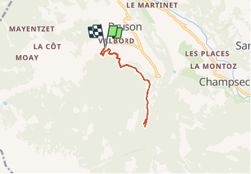


3,3 km | 7,8 km-effort

Benutzer


Kostenlosegpshiking-Anwendung
 SityTrail
IGN / Geografische Institute
SityTrail World
Die Welt öffnet sich für Sie
Tour Wandern von 5,3 km verfügbar auf Wallis, Entremont, Val de Bagnes. Diese Tour wird von duamerg vorgeschlagen.
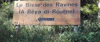
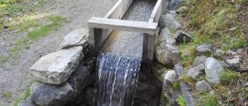
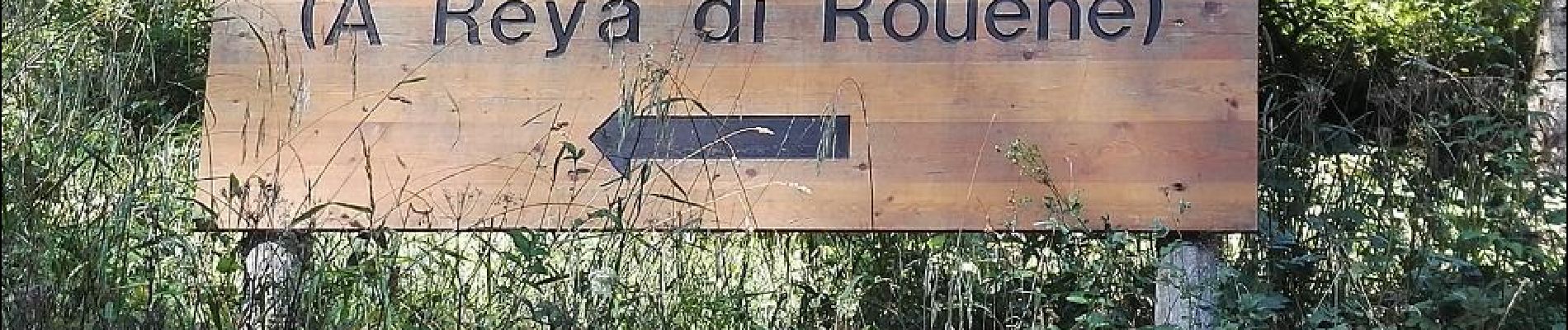
Pour un jour de canicule, joli bisse en grande partie à l'ombre. Intéressant parcours, parsemé de points de vue, bancs, place de picnic.
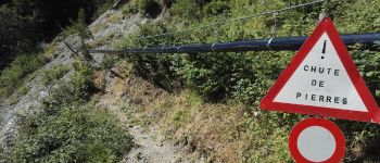
Aucune difficulté. Pour une fois une promenade.
Parcours raquette en hiver


Zu Fuß
Zu Fuß

Zu Fuß

Zu Fuß

Wandern

Zu Fuß

Zu Fuß
Zu Fuß
Wandern